


| Name | Ohesaare cliff |
| Type | outcrop |
| Country | Estonia |
| Parish | Torgu |
| Settlement | Ohessaare |
| Coordinates | 58.000405, 22.019223 |
| Coordinate system | EPSG:3301 |
| X | 6430509 |
| Y | 382889 |
| Coordinate precision | 1-10 m |
| Coord. method | Est Land Board map server |
| Coord. agent | Hints, Olle |
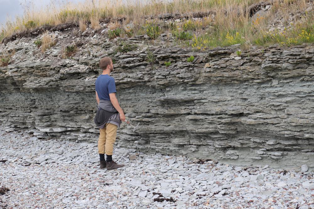
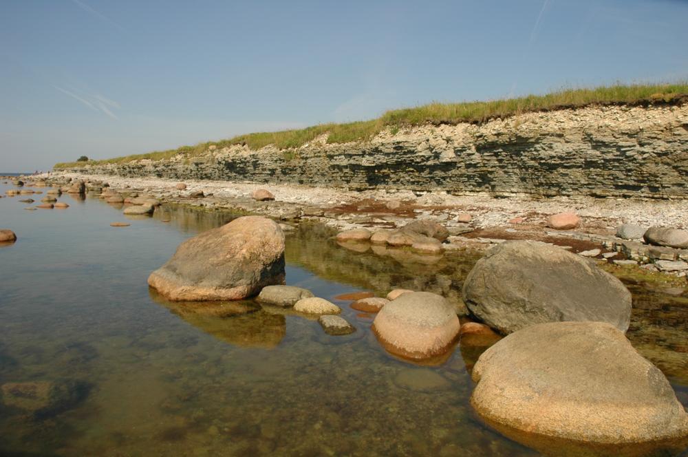
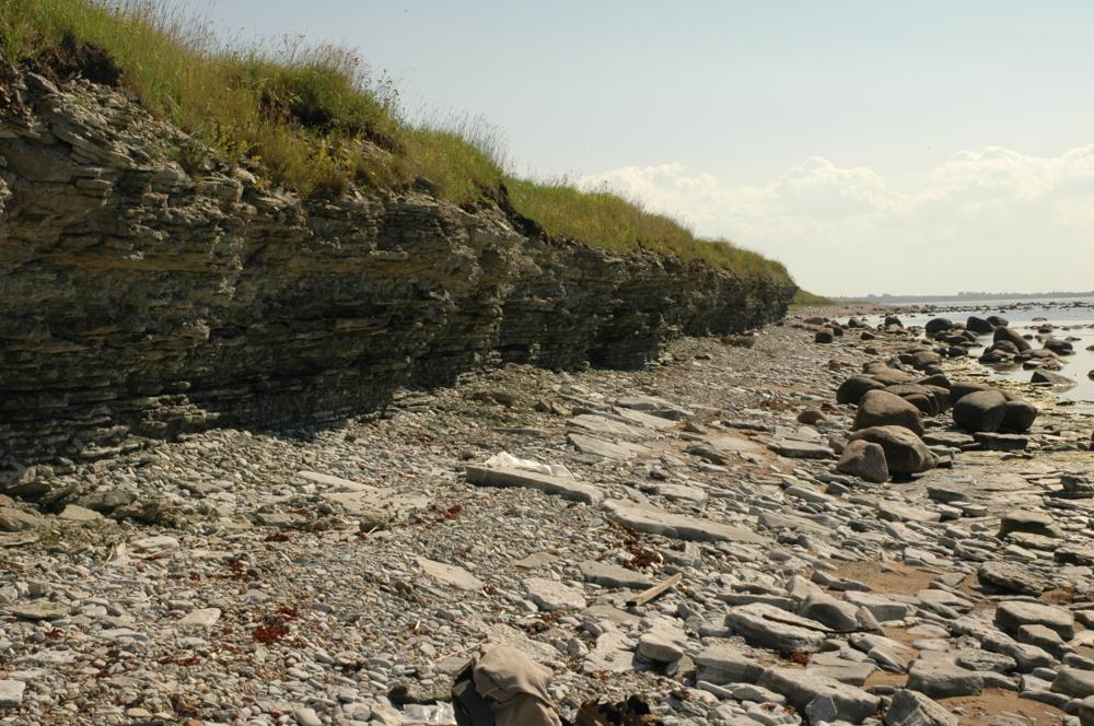
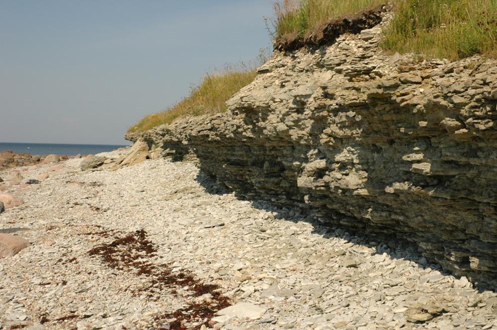
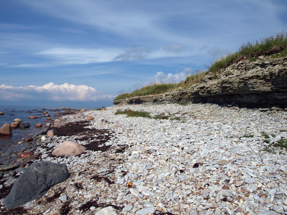
| Location remarks | Sõrve poolsaare läänerannikul Ohesaare küla lähedal. Panga pikkus 700 m, kõrgus 3,5 m; koordinaadid määratud neemiku tipust (On the west coast of the Sõrve peninsula, near the village of Ohesaare. Bank length 700 m, height 3.5 m; coordinates from the top of the designated headland) |
| Strat. top | Ohesaare Stage |
| Strat. base | Ohesaare Stage |
| Remarks | Geoloogilist läbilõiget 4,3 m, paljanduvad Ohesaare lademe kõige alumised kihid. Field Meeting, 1990. Loc 7 : 4. Pank on 1959.a-st looduskaitse all, 1996. a-st Ohesaare maastikukaitseala koosseisus. (Geological section 4.3 m, the lowest layers of the Ohesaare deposit are exposed. Field Meeting, 1990. Loc 7 : 4. The bank has been under nature protection since 1959, and part of the Ohesaare landscape protection area since 1996.) |
| Date added | 2001-02-27 |
| Date changed | 2024-02-28 |
Browse Geocollections
Partners

