| Name | Kukruse |
| Type | geographical place or area |
| Country | Estonia |
| Parish | Kohtla-Järve |
| Settlement | Kukruse |
| Coordinates | 59.401132, 27.339046 |
| Coord. method | Est Land Board map server |
| Coord. agent | Aaloe, Aasa |
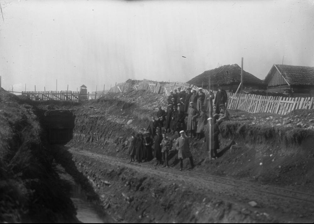
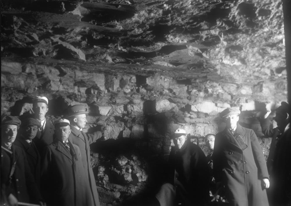
| Location remarks | Kukruse kraav - Kukruse lademe (CII) holostratotüüp (Purtse alamladestik, Sandby lade, Ordoviitsiumi ladestu); |
| Date added | 2001-03-29 |
| Date changed | 2019-01-17 |
Browse Geocollections
Partners

