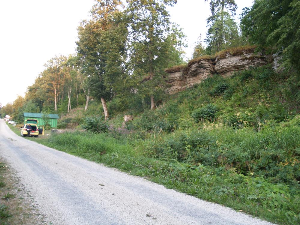

| Name | Ubari outcrop |
| Type | outcrop |
| Country | Estonia |
| Parish | Jõelähtme |
| Coordinates | 59.49288, 25.286236 |
| Coordinate precision | 100-1000 m |
| Coord. method | Est Land Board map server |
| Coord. agent | Aaloe, Aasa |
| Location remarks | Ubari MKA - ca 2,5 km pikkune P-Eesti klindiastang Valklast loodes. K. Orviku järgi: lang Mihkli (tänap: Mikle) talu kohal |
| Date added | 2003-04-09 |
| Date changed | 2018-12-11 |
Browse Geocollections
Partners

