
| Name | Madise scarplet |
| Type | outcrop |
| Country | Estonia |
| Parish | Padise |
| Settlement | Madise |
| Coordinates | 59.290833, 24.121944 |
| Coordinate precision | 10-100 m |
| Coord. method | Est Land Board map server |
| Coord. agent | Hints, Olle |
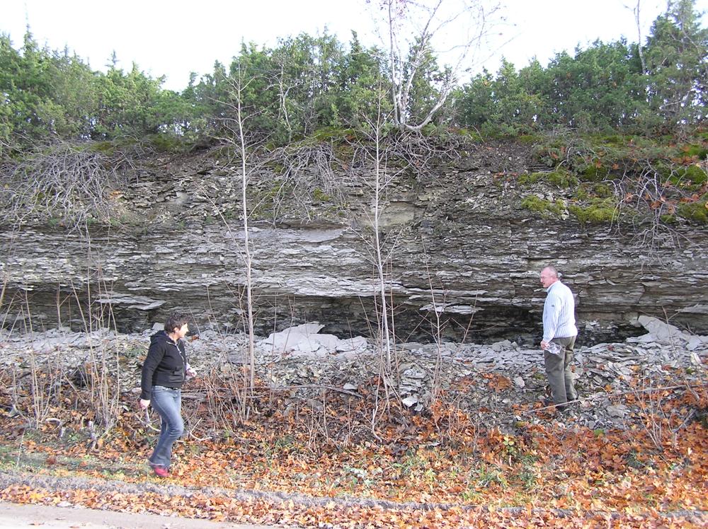
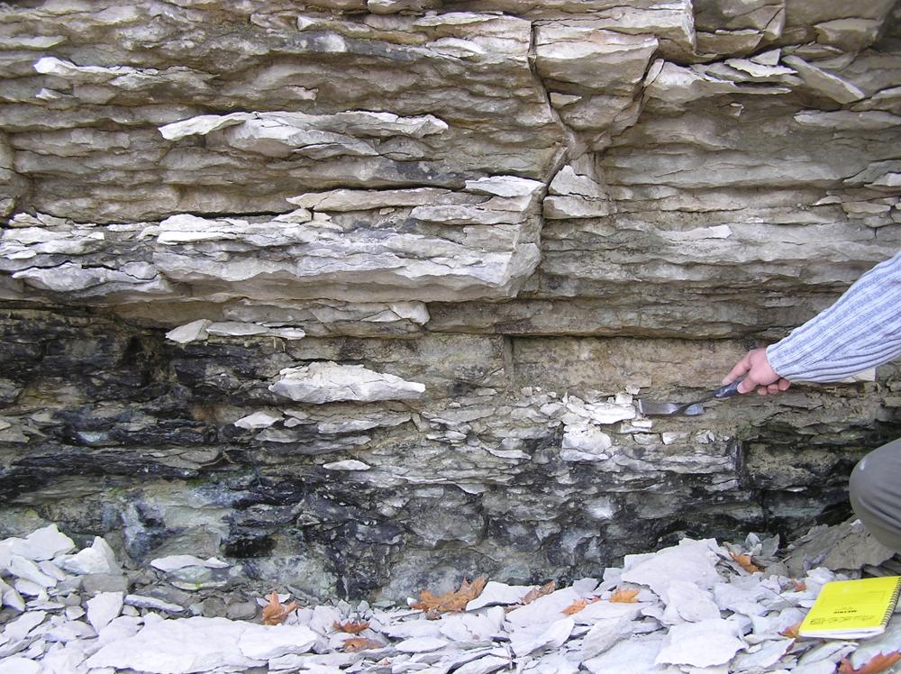
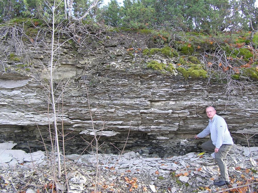
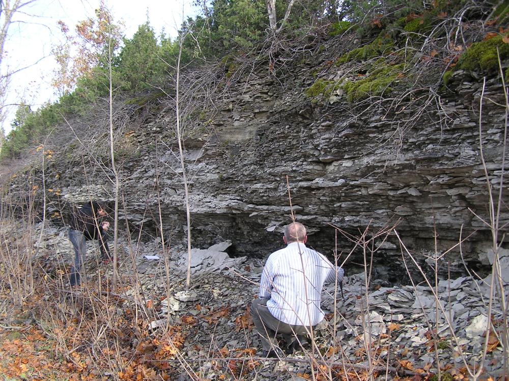
| Location remarks | Teeäärne astang Madise kirikust läänes, paljanduvad Haljala lademe Madise kihistiku lubjakivid. Madise kihistiku stratotüüp |
| Strat. top | Haljala Stage |
| Strat. base | Haljala Stage |
| Date changed | 2017-06-09 |
Browse Geocollections
Partners

