


| Name | Jaagarahu quarrys |
| Type | outcrop |
| Country | Estonia |
| Parish | Kihelkonna |
| Settlement | Kurevere |
| Coordinates | 58.407139, 21.963211 |
| Coordinate precision | 10-100 m |
| Coord. method | Est Land Board map server |
| Coord. agent | Aaloe, Aasa |
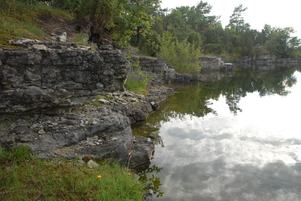
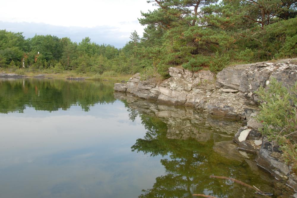
| Location remarks | 6 km Kihelkonnalt loodes, Jaagarahu sadamast põhja pool. Vanad murrud, veega täitunud, tööd lõpetatud. (6 km northwest of Kihelkonna, north of Jaagarahu harbour. Old fractures, filled with water, work completed.) |
| Strat. top | Jaagarahu Stage |
| Strat. base | Jaagarahu Stage |
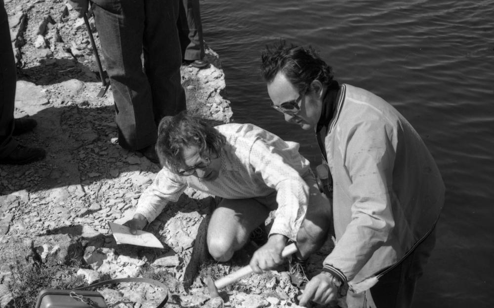
| Remarks | Jaagarahu lademe ja kihistu stratotüüp.1930. a-tel murti puhast lubja- ja dolokivi ekspordiks Rootsi, Soome, Poolasse, Saksamaale jm. EÜR, Field Meeting, 1990. Loc 6 : 3. (Stratotype of Jaagarahu Stage and Formation. In the 1930s pure limestone and dolostone were quarried for export to Sweden, Finland, Poland, Germany, etc. EÜR, Field Meeting, 1990. Loc 6 : 3.) |
| Date changed | 2024-02-28 |
Browse Geocollections
Partners

