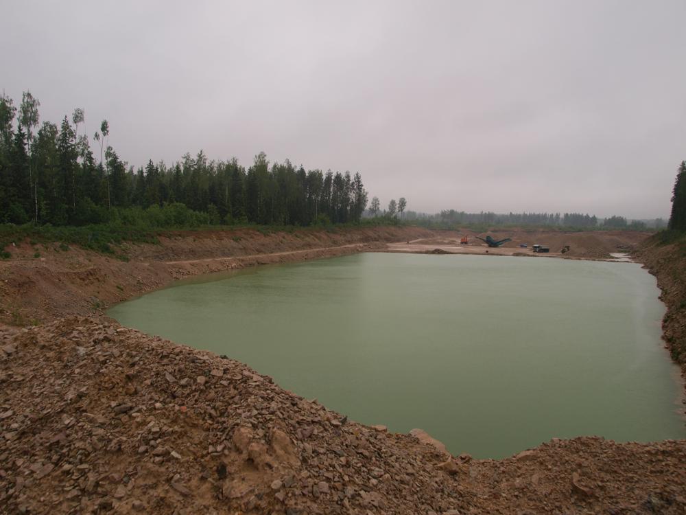
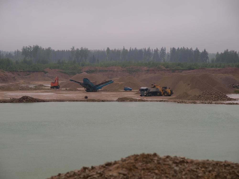
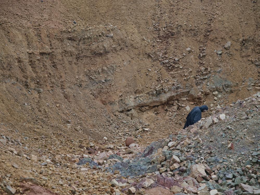
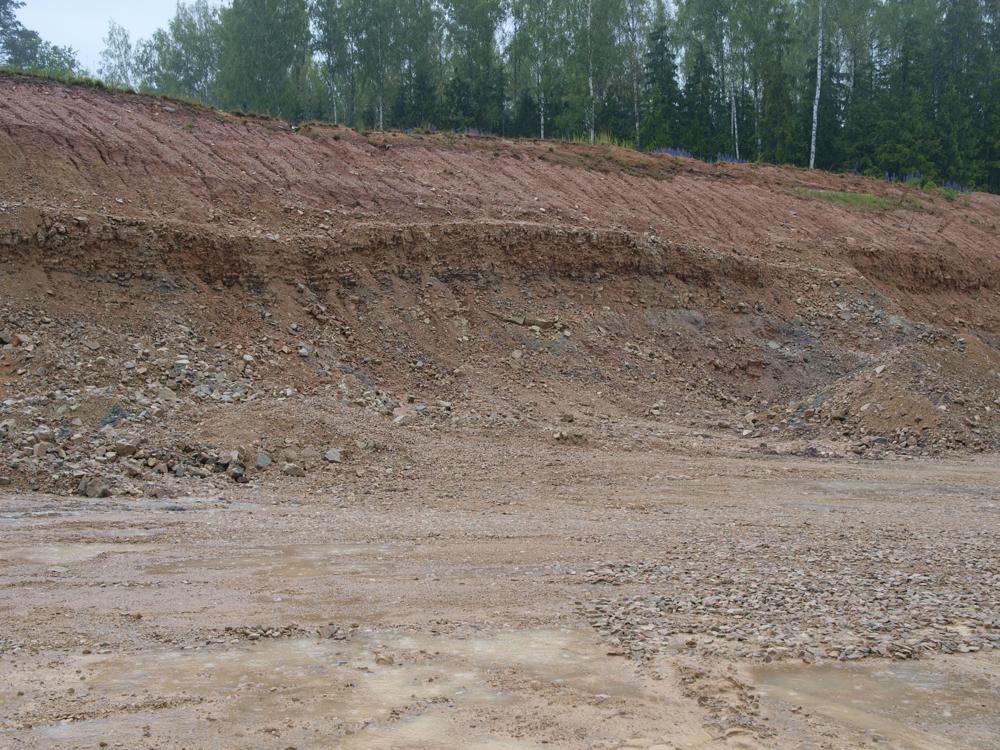
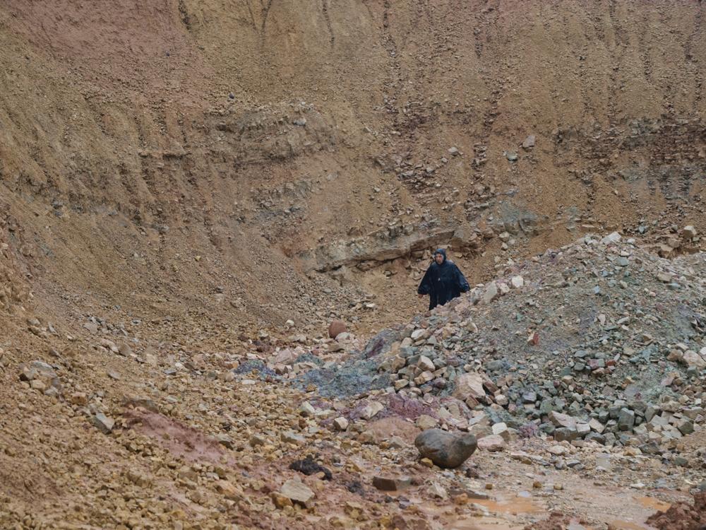
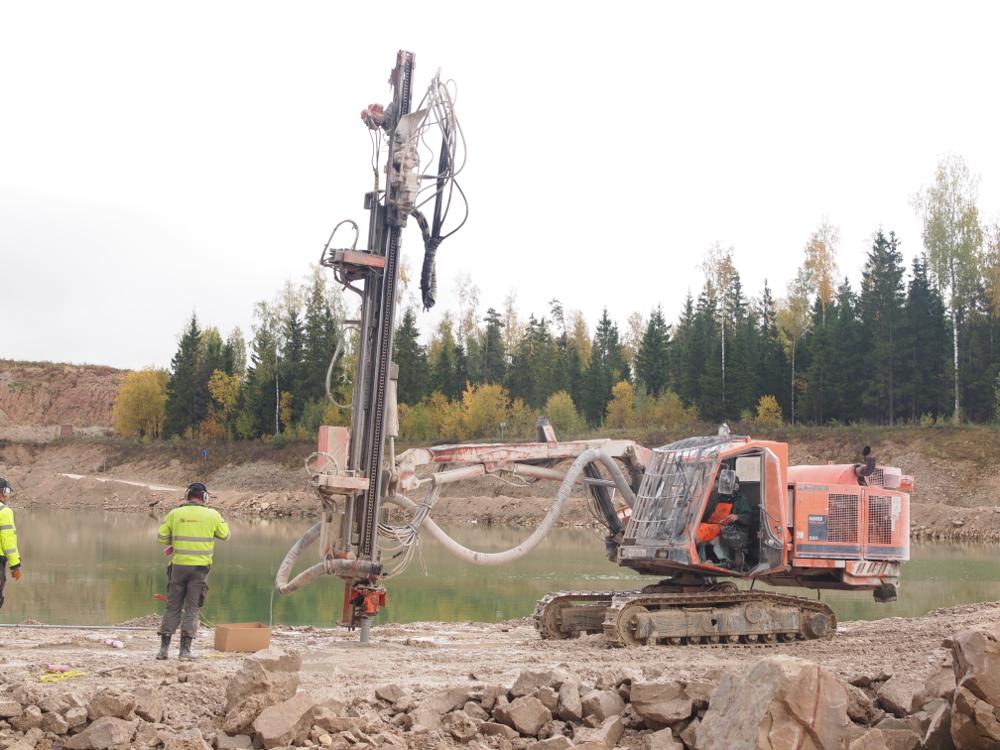


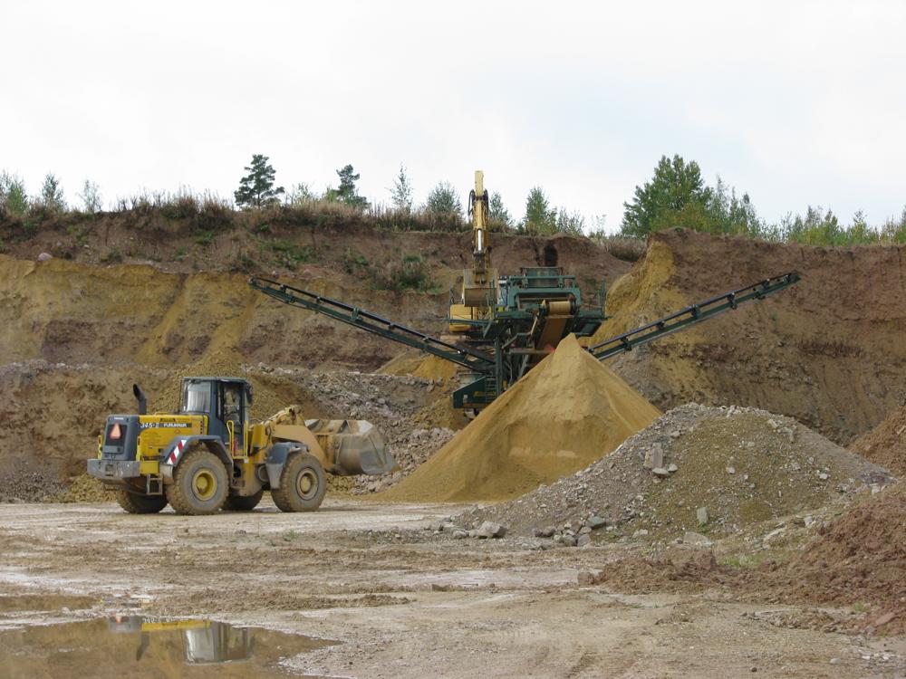

| Name | Marinova quarry |
| Type | outcrop |
| Country | Estonia |
| Parish | Meremäe |
| Settlement | Marinova |
| Coordinates | 57.736419, 27.518494 |
| Coordinate precision | 10-100 m |
| Coord. method | Est Land Board map server |
| Coord. agent | Aaloe, Aasa |
| Location remarks | Meremäelt 3 km kagus |
| Strat. top | Plavinas Stage |
| Strat. base | Plavinas Stage |
| Date added | 2010-01-18 |
| Date changed | 2020-11-20 |
Browse Geocollections
Partners

